:format(webp):no_upscale())
Mining and Construction
Evo Enterprise - Long-range mining drone for site management
Mining drones for surveying and site monitoring
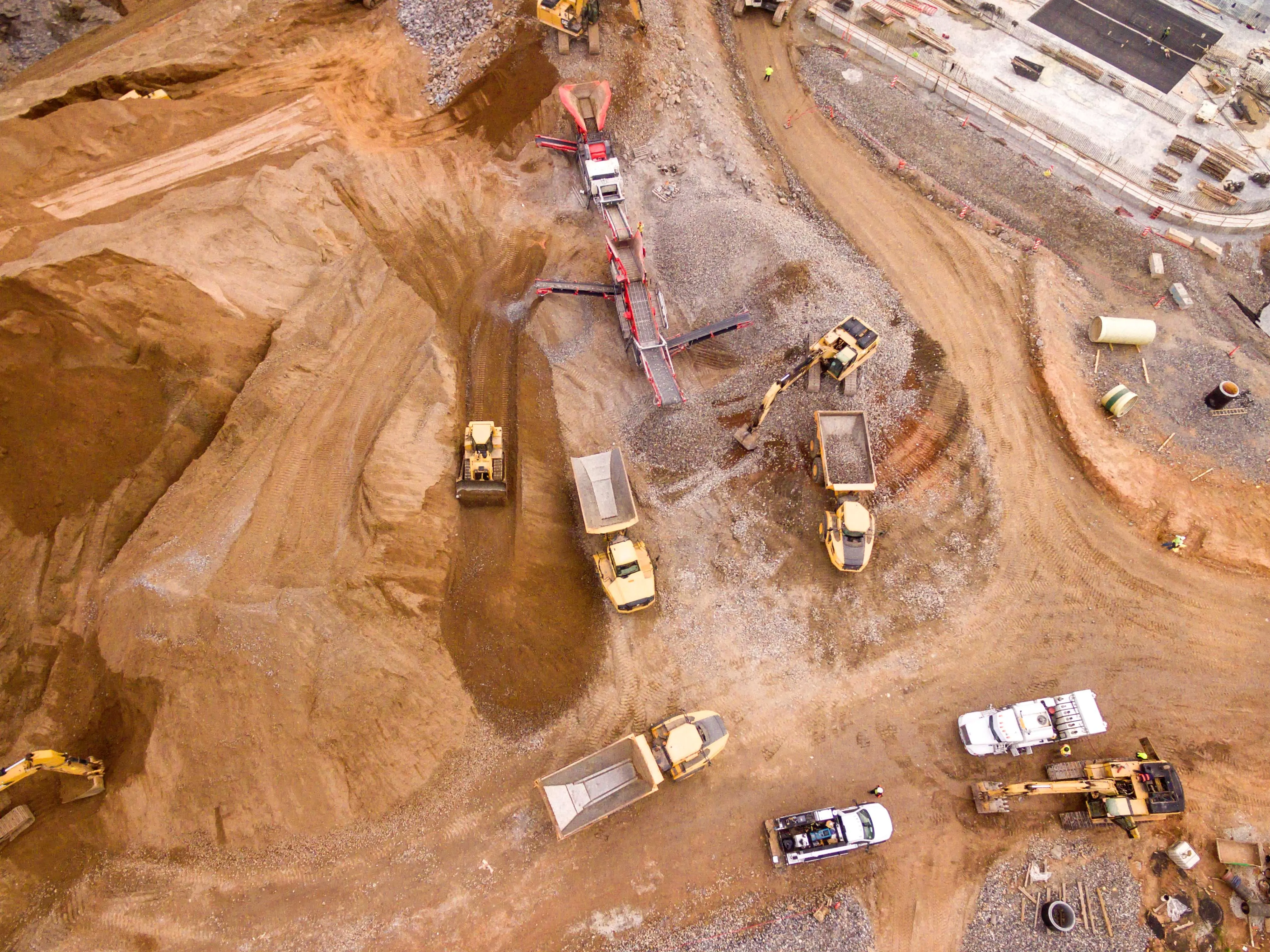
Mining and construction sites require an accurate view of changing terrain, infrastructure and site conditions.
Evo Enterprise transforms mining and construction surveillance with accurate, time-saving aerial insight to boost decision-making. Long-range VTOL flight, autonomous missions, and flexible payload configurations enable surveying, inspection and monitoring of large areas from sites where access may be limited or hazardous.
1
Benefits of mining drones
Longer flight times, repeatable missions and flexible payload configurations help teams cover more ground, collect consistent data and reduce time spent in difficult or hazardous areas.
Efficient mapping
High-quality data
Worker safety
2
Mining drone applications
Mining and construction sites change continuously. Long-endurance flight, automated missions and configurable payloads enable surveying larger areas and returning with consistent datasets as work progresses.
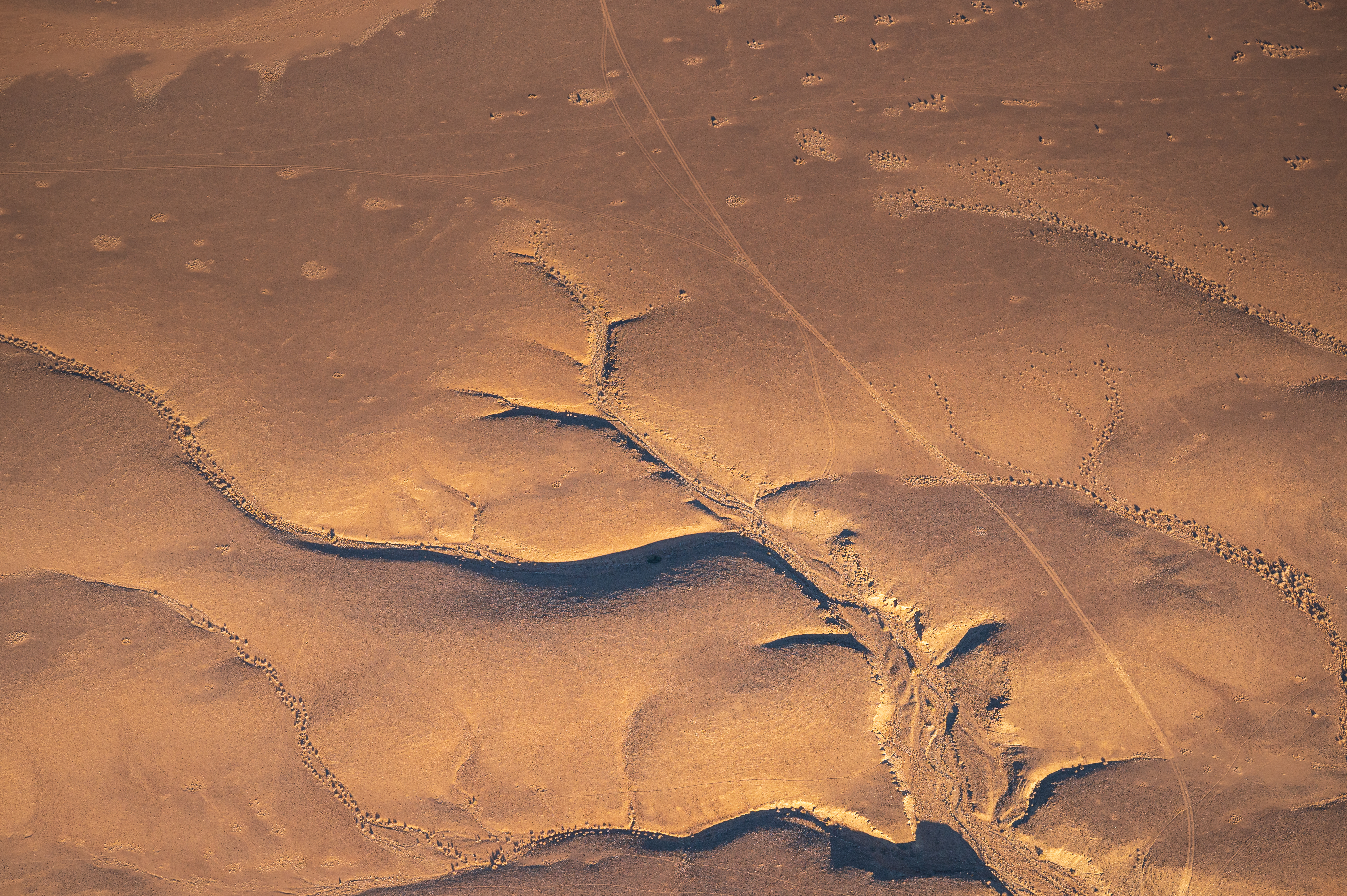
1 - 6
Area scouting
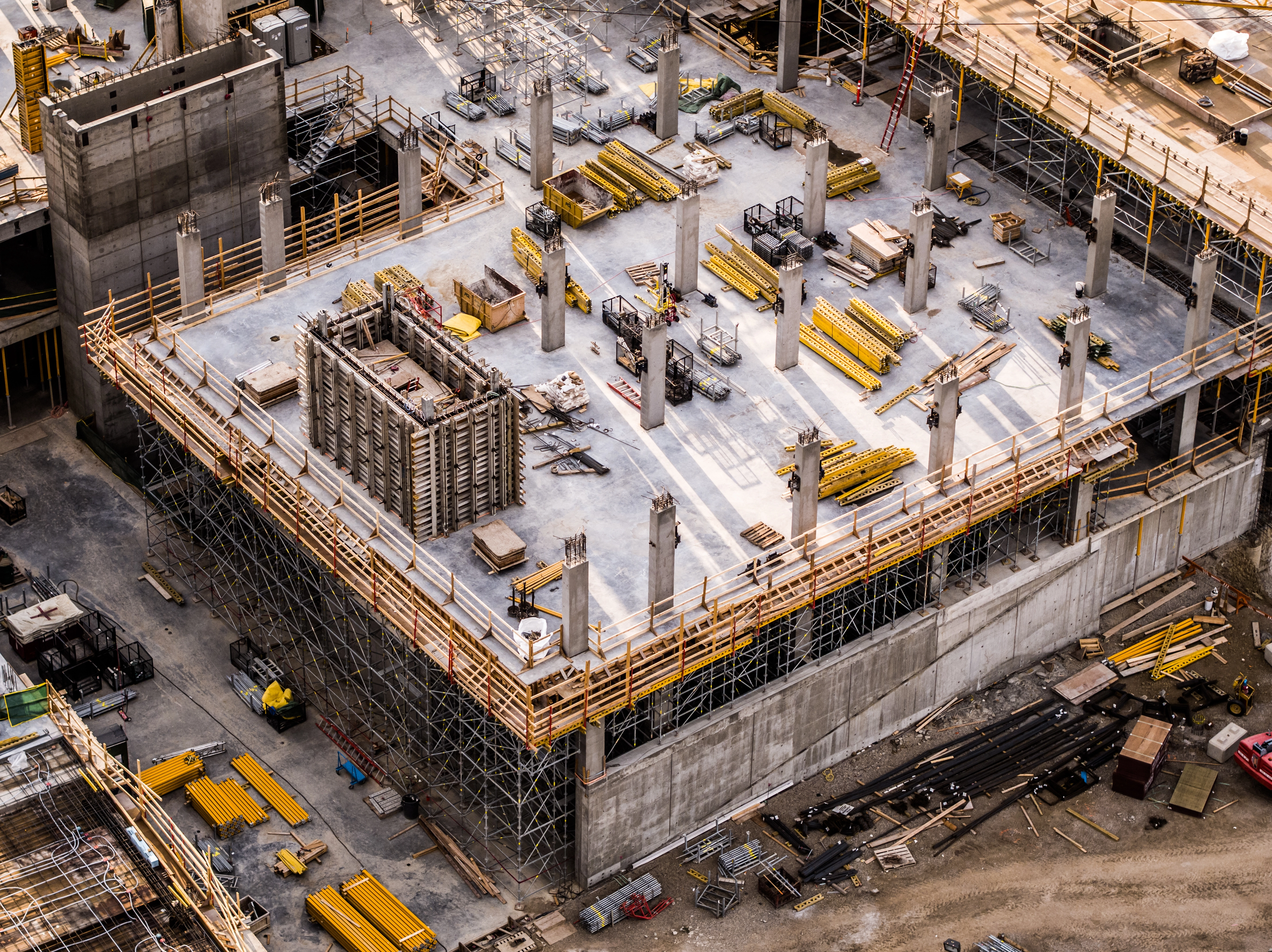
2 - 6
Construction progress monitoring
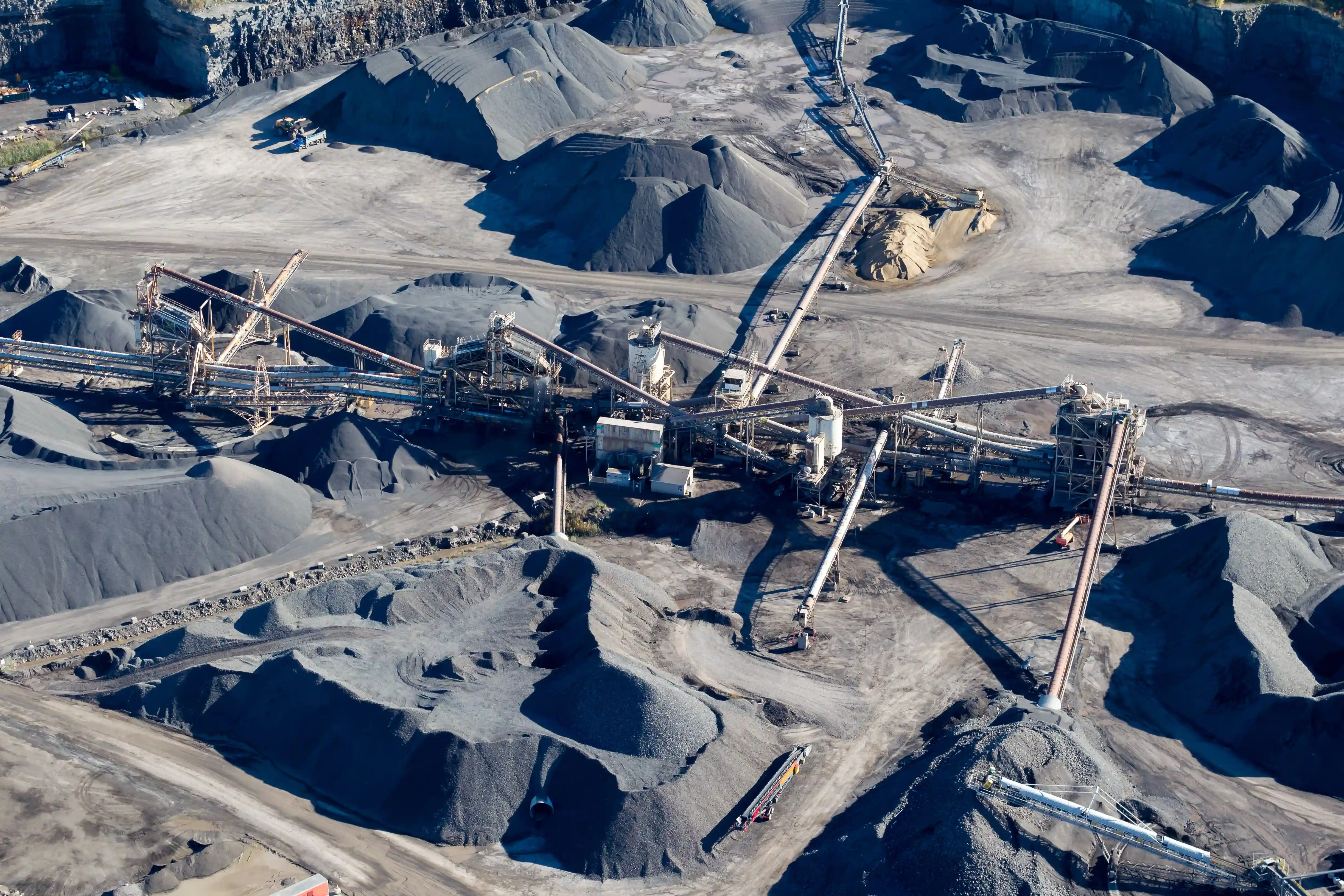
3 - 6
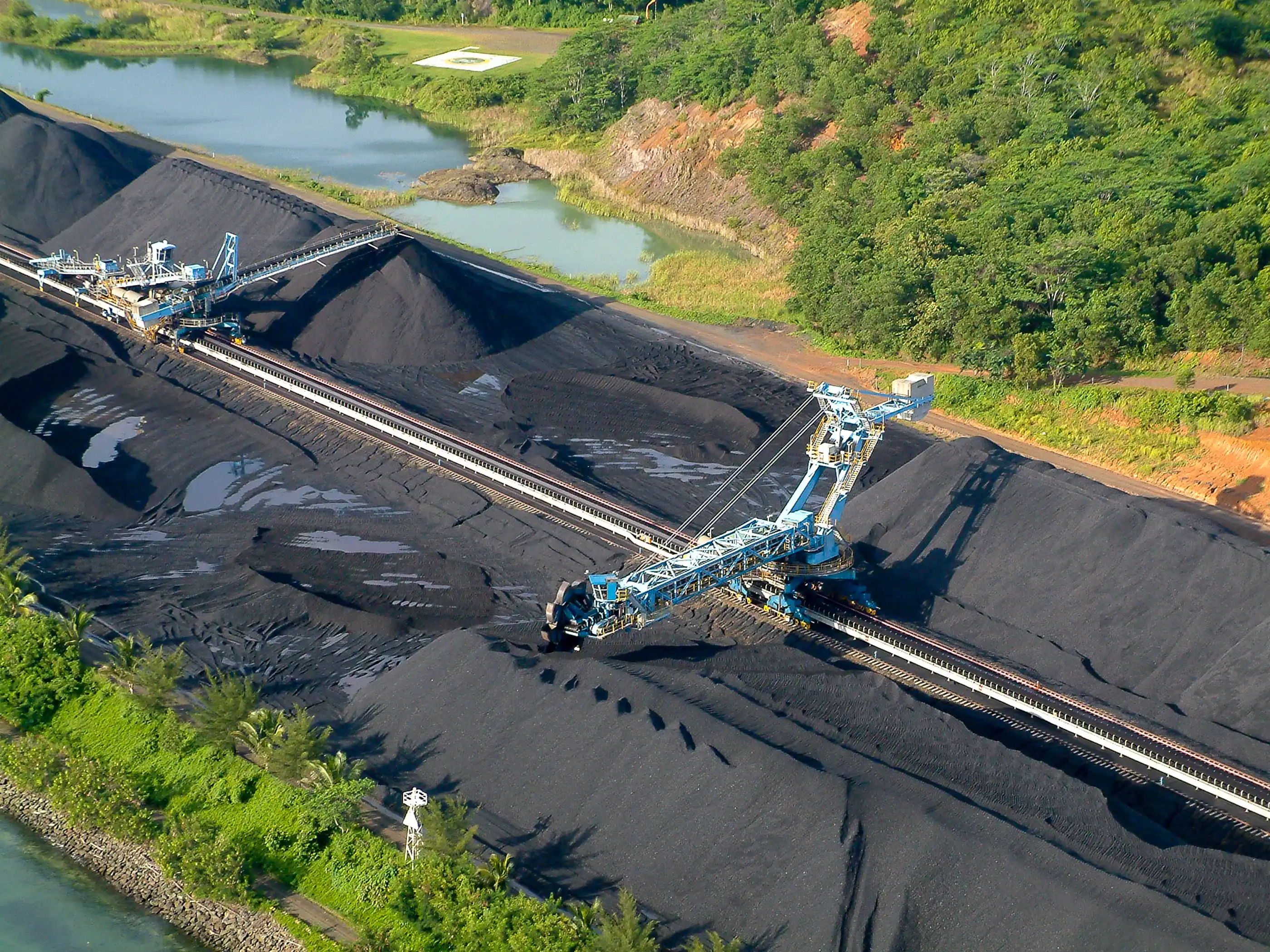
Stockpile measurement
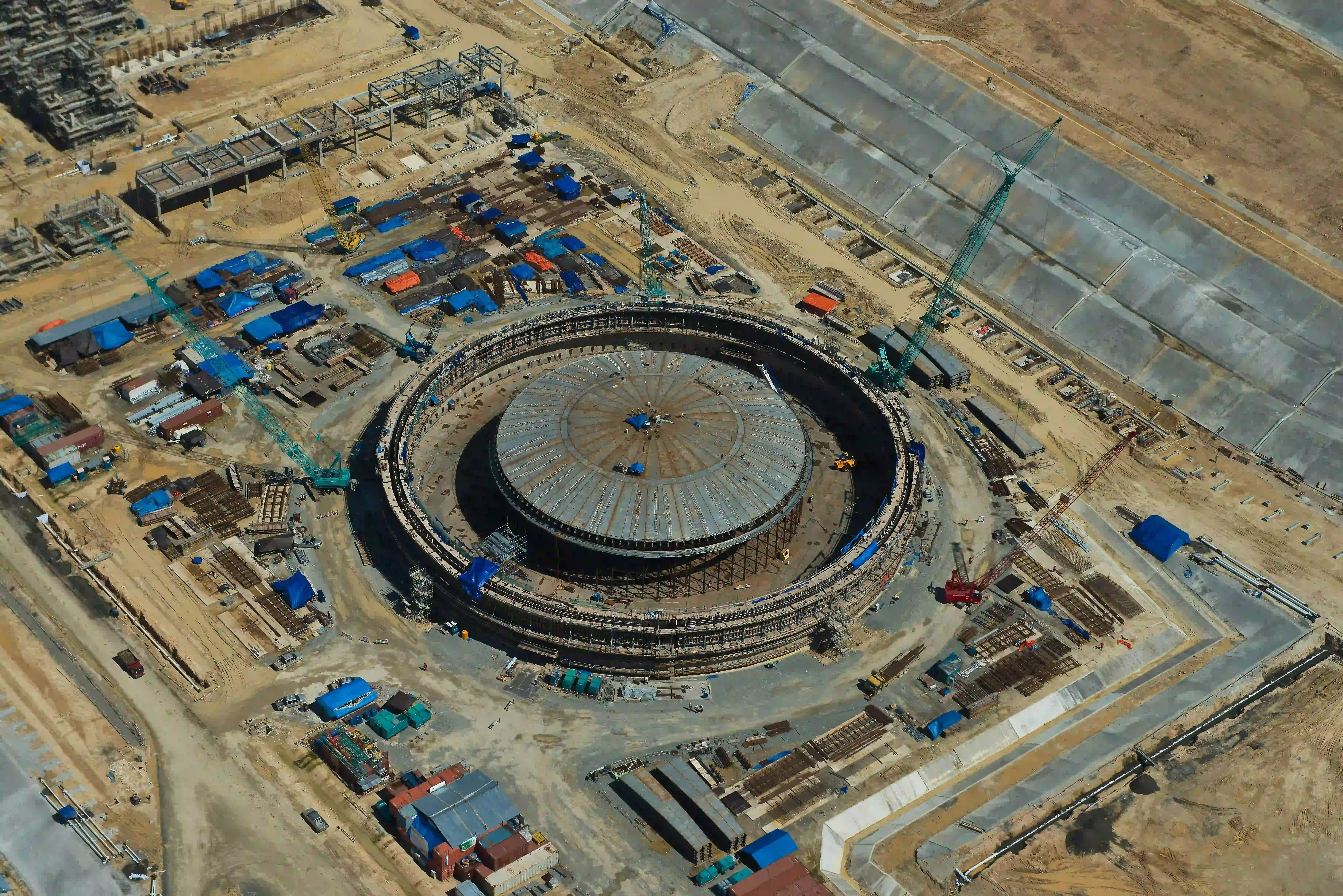
4 - 6
Site security
5 - 6
Haul route optimisation
6 - 6
Hazard Identification
3
Mining mapping outputs
A single flight can capture multiple survey datasets, producing maps and models for mining and construction while enabling more missions per flight.
:format(webp):no_upscale())
RGB orthomosaic maps
Georeferenced RGB imagery creates a detailed site map for surveying, progress checks and comparison between missions.
:format(webp):no_upscale())
Digital elevation models
Elevation data records the shape and height of the terrain for slope analysis, drainage planning and site design.
:format(webp):no_upscale())
3D terrain models
Photogrammetry and LiDAR data can be used to build measurable 3D models for volume calculations, terrain assessment and planning.