:format(webp):no_upscale())
Security and defence
Evo Tactical - Long-Range ISTAR Surveillance Drone
Aerial intelligence for security and defence
Security and defence operations require reliable access to current information across large areas and extended missions.
Evo Tactical combines VTOL operation, long endurance and dual payload capacity in a single platform. It can be deployed without runway infrastructure and configured for different mission requirements. It also supports ISTAR, mapping, communications relay, logistics and other operational tasks.
1
Benefits of surveillance drones
Evo Tactical supports security and defence operations by reducing operating requirements, limiting personnel exposure and providing timely information from the air.
Enhanced stealth
Cost-effectiveness
Troop safety
High-quality intelligence
2
Operational applications
Evo Tactical can be configured for a range of security and defence missions, combining long-range VTOL operation with mission-specific payloads.
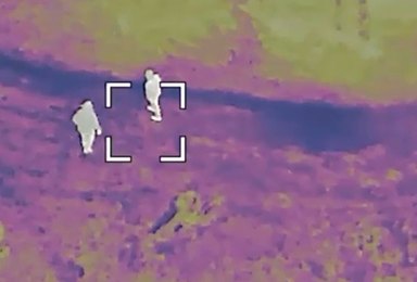
1 - 5
ISTAR
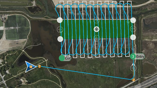
2 - 5
Mapping and mission planning
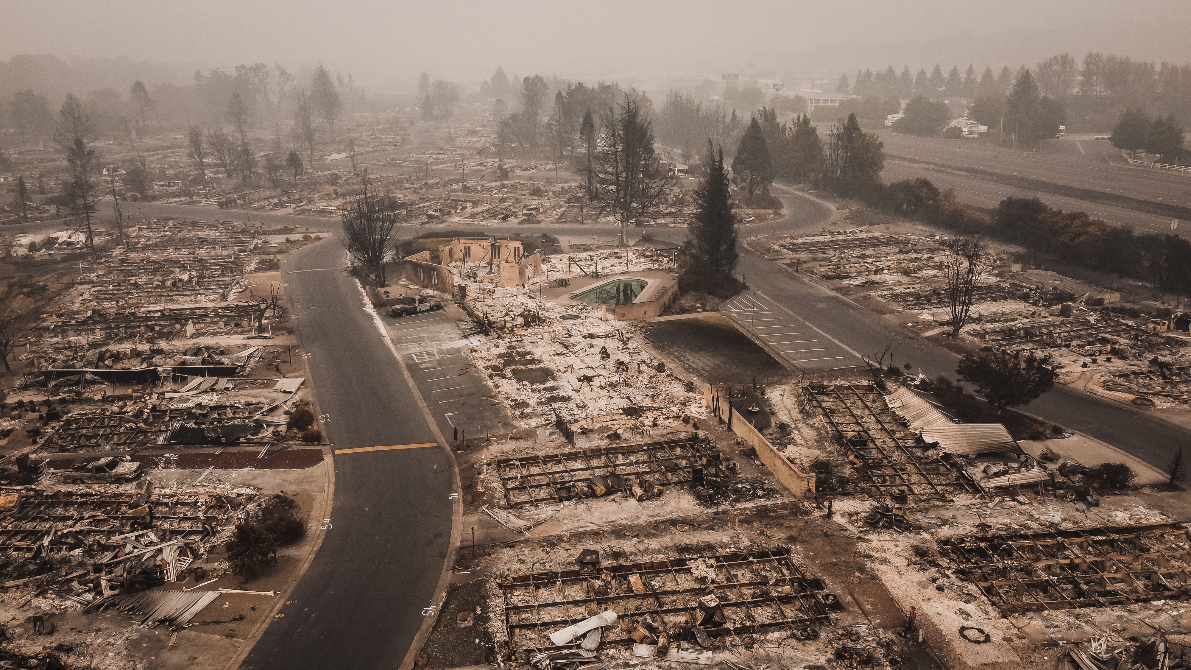
3 - 5
Emergency and disaster response
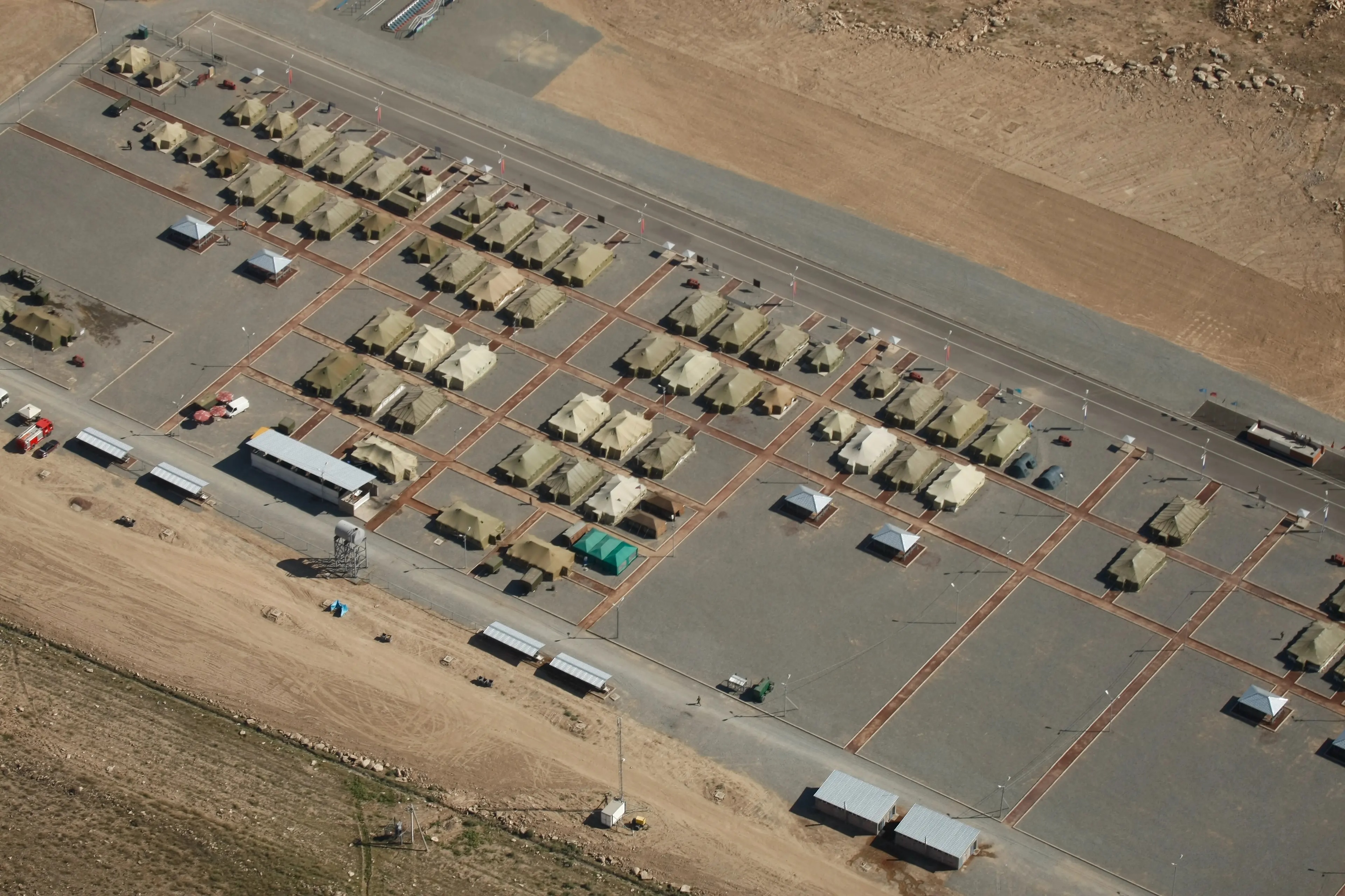
4 - 5
Asset protection
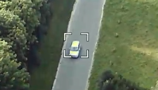
5 - 5
Object tracking and following
3
Surveillance drone outputs
Dual payload bays allow Evo Tactical to collect multiple types of imagery and sensor data in a single mission.
:format(webp):no_upscale())
Live video thermal imaging
Real-time feeds and thermal detection capabilities enable constant surveillance, vital for maintaining security and overseeing operations in any environment.
:format(webp):no_upscale())
RGB orthomosaic maps
Georeferenced aerial imagery forms a single, large-scale, high-resolution, clear image map for terrain assessment, route planning and change monitoring.
:format(webp):no_upscale())
3D terrain models
Processed aerial imagery creates high-resolution 3D models of terrain and structures for terrain assessment, route planning and mission preparation.